North Dakota is a state located in the Midwestern region of the United States, along the Canadian border. The state is bordered by Manitoba and Saskatchewan to the north, Minnesota to the east, South Dakota to the south and Montana to the west. North Dakota is the 19th most extensive, but the 3rd least populous and the 4th least densely populated of the 50 United States. North Dakota was created from the northern portion of the Dakota Territory and admitted to the Union on November 2, 1889, simultaneously with South Dakota.
The state capital is Bismarck and the largest city is Fargo. The primary public universities are located in Grand Forks and Fargo. The U.S. Air Force operates air bases at Minot AFB and Grand Forks AFB.
For more than a decade, the state has had a strong economy, with unemployment lower than the national average, job and population growth, and low housing vacancies. Much of the growth has been based on development of the Bakken oil shale fields in the western part of the state, but it has also had growth in the technology and service sectors. Flooding in June 2011 has caused extensive damage to Minot and threatened Bismarck, the capital city.
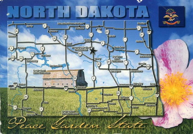
State Capital: Bismarck
State Bird: Western Meadowlark
State Flower: Prairie Rose
State Tree: American Elm
Admitted to Union: 1889


 Maroon


")


No comments:
Post a Comment