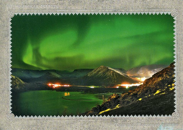
The Khibiny Mountains (or The Khibiny Massif) is one of the two main mountain ranges of the Kola Peninsula, Russia, within the Arctic Circle, located between Imandra and Umbozero lakes.
The massif is of oval shape of about 1,300 km2. and occupies the central part of the peninsula at a relative elevation of 900-1000 m above the surrounding plain. The mountains are not particularly high; the two highest peaks are the Yudytchvumtchchorr, which stands 1,201 metres, and the Chasnachorr, which stands 1,191 metres. The average elevation is 1,116 metres. The mountains form the shape of a horseshoe topped by a high plateau, drained by a series of deep canyons. The peaks are of plateau type, with steep slopes, with glaciers, icefields and snowfields in some places. The overall terrain is alpine tundra.
The massif is extremely rich in various minerals, mainly apatite and nepheline ores. 477 valid minerals have been reported and 108 of those are type localities or minerals first described in the Khibiny.
The Khibinskys are mostly uninhabited, except for one of the world's richest mineral quarries, with approximately 10% of all new minerals discovered there, including one that can potentially absorb radioactivity from nuclear waste. The cities of Apatity and Kirovsk are situated at the foot of the massif.


 Maroon


")


No comments:
Post a Comment