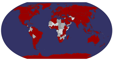
Latvia is a country in the Baltic region of Northern Europe. It is bordered to the north by Estonia, to the south by Lithuania, to the east by the Russian Federation, to the southeast by Belarus, and shares maritime borders to the west with Sweden. With 2,067,887 inhabitants and a territory of 64,589 km2 it is one of the least populous and least densely populated countries of the European Union. The capital of Latvia is Riga. The official language is Latvian and the currency is called Lats (Ls). The country has a temperate seasonal climate.
Latvia is a unitary parliamentary republic and is divided into 118 administrative divisions of which 109 municipalities and 9 cities. There are five planning regions: Courland (Kurzeme), Latgalia (Latgale), Riga (Rīga), Vidzeme and Zemgale. The Republic of Latvia was founded on November 18, 1918. It was occupied and annexed by the Soviet Union between 1940–1941 and 1945–1991 and by Nazi Germany between 1941–1945. The peaceful "Singing Revolution" between 1987 and 1991 and "Baltic Chain" demonstration on August 23, 1989 led to the independence of the Baltic states. Latvia declared the restoration of its de facto independence on August 21, 1991.


 Maroon


No comments:
Post a Comment